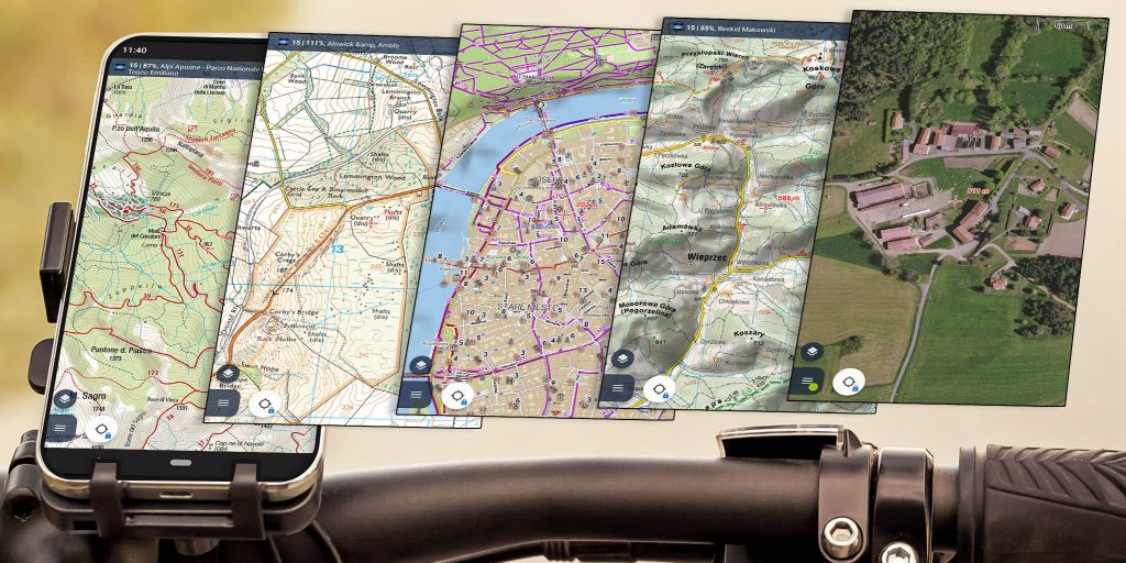
Wide Selection of Maps
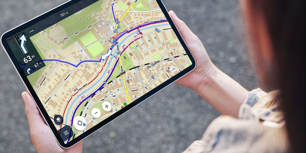
Always know where to go
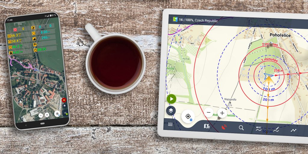
Record, share and export your tracks

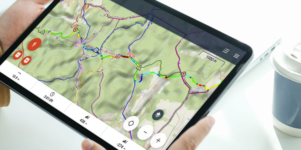
Plan your routes like a pro
No need to be online

Create your own app
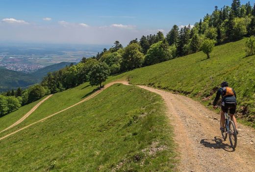
Biking >>
- full cyclocomputer dashboard with handsfree display control
- worldwide offline cycling maps
- turn-by-turn voice navigation
- automatic export to Strava and other services
- support for BT and ANT+ sensors

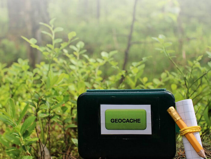
Geocaching >>
- easy and fast import of geocaches for offine use
- online/offline logging
- drafts management
- graphic and mathematical GC tools
- beeline guidance with sound and vibration alert

Running >>
- multi-parameter audio coach
- enhanced statistics
- energy consumption calculation
- support for external HR monitors
- automatic export to online services and communities

Skiing >>
- winter theme of LoMaps with pistes and groomed ski trails
- slope gradient coloring for ski mountaineers
- 24/7 worldwide weather forecast

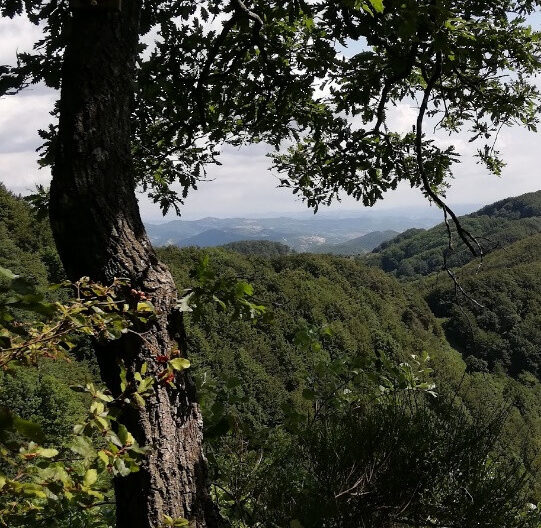
Hiking >>
- great selection of the best quality offline hiking maps
- intelligent battery-saving GPS mode
- offline route planning
- multi-profile track recording
- navigation along own and imported routes
Blog posts
-
 Locus Map 4.20 and other pre-Christmas news8. 12. 2023